
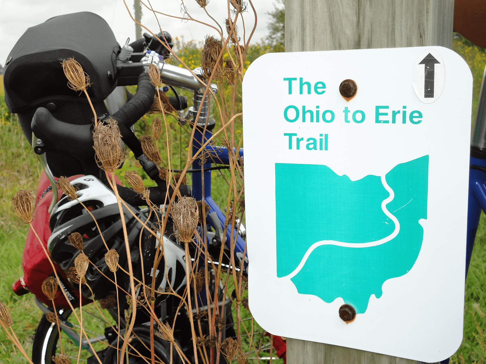
Primarily an off-street recreational trail from the Ohio River to Lake Erie, the Ohio to Erie Trail (OET) spans the state of Ohio from Cincinnati to Cleveland. Following lands formerly occupied by railroads and canals, the collection of regional trails connects four of Ohio’s metropolitan cities, a dozen large towns and numerous small villages . Easily accessible, paved trails are almost exclusively separated from highways and automobiles. In 2017 the trail reached a total of 326 miles.
Ohio’s Green Corridor
The Ohio to Erie Trail is in place with 270+ miles of recreational trail. Users are able to travel the corridor linking Cincinnati, Columbus, Akron and Cleveland on a safe trail while enjoying the splendor of Ohio’s rural heartland. Along the way, users can re-live the history that shaped the state: Amish history, Revolutionary War history, Civil War history, canal history, railroad history — it all happened here along the OTET!
What You’ll See
Along the way, the trail passes through rural areas, farmlands, nature preserves, and regional parks giving the adventurous a hearty helping of nature’s finest. The small rural towns are a treasure of small shops, restaurants and history of Ohio. At the metropolitan perimeters, meadows and woods give way to exciting urban centers, affording the traveler a contemporary taste of Ohio’s culture and arts.
Everyone Welcome
The Ohio to Erie Trail is a collection of multi-use trails that provide exercise and adventure to anyone who’s willing to leave the automobile behind. Bicyclists, equestrians*, skaters, hikers, families with strollers, bird watchers, walkers and nature lovers are a common sight. In the winter, the trail becomes a snowshoe and cross-country ski path. And, for those with mobility impairments, construction designs call for full compliance with ADA guidelines so that everyone has the opportunity to explore the natural beauty of Ohio as the trail weaves its way across the state.
Distances
In 2017 about 270 miles (83%) of the 326 total miles are on separated paved trails with about 50 miles on some city streets (7%) and rural roads (10%). The actual total mileage of separated paved trail changes monthly as more and more miles are taken off streets and routed onto new, separate, paved trails. As more miles of abandoned railroad beds are converted, the actual overall length of the OTET decreases.
*Currently the Madison County Park District does not allow horses on the Madison County trails.